What Is a Subsea Survey?
A subsea survey is a planned underwater inspection designed to:
- Assess structural condition.
- Map underwater terrain.
- Document damage.
- Identify hazards.
- Support engineering decisions.
- Monitor environmental change.
Subsea surveys may involve:
- Offshore platforms.
- Pipelines.
- Mooring systems.
- Hull inspections.
- Harbour infrastructure.
- Marine construction sites.
- Environmental research zones.
The objective is not simply to observe.
It is to produce usable data.
Survey Diving vs Recreational Diving
Recreational diving focuses on:
Experience.
Exploration.
Enjoyment.
Subsea survey diving focuses on:
Accuracy.
Repeatability.
Documentation.
Operational clarity.
A professional survey diver must:
Maintain buoyancy.
Control position.
Stabilise imaging equipment.
Measure accurately.
Log findings clearly.
Every observation must be:
Traceable and defensible.
Types of Subsea Surveys
Subsea surveys vary depending on objective.
Structural Surveys
Used for:
- Offshore platform inspection.
- Jetty assessment.
- Piling integrity checks.
- Corrosion evaluation.
- Structural damage documentation.
Pipeline and Cable Surveys
Focus on:
- Burial depth.
- Exposure risk.
- Structural compromise.
- Marine growth impact.
- Movement or displacement.
Hull and Vessel Inspections
Include:
- Biofouling assessment.
- Propeller condition.
- Anode integrity.
- Damage evaluation.
- Security sweeps.
Environmental Surveys
Document:
- Coral health.
- Sediment movement.
- Marine habitat changes.
- Pollution impact.
Each survey type requires:
Different tools.
Different documentation standards.
Different risk profiles.
Measurement and Documentation Standards
Subsea surveys often require:
Photographic evidence.
Video recording.
Scaled measurement references.
Written reporting.
Surface verification.
Professional survey divers use:
- Measuring tapes.
- Underwater slates.
- Laser scaling devices.
- Compass bearings.
- GNSS surface referencing.
- Structured reporting templates.
Subjective observation is insufficient.
Documentation must support engineering review.

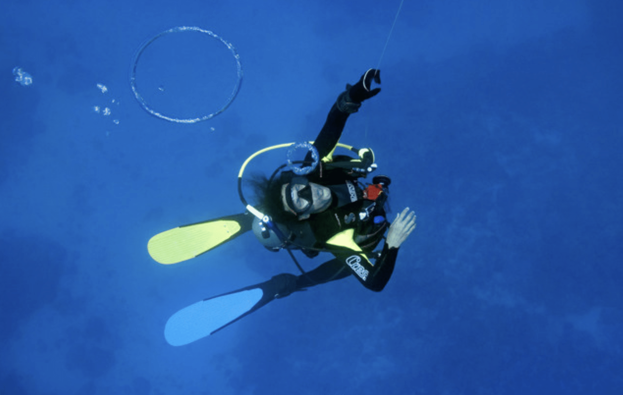
Buoyancy and Stability Are Foundational
Accurate survey work depends on:
Stable trim.
Minimal movement.
Precise positioning.
Poor buoyancy causes:
Blurry footage.
Incorrect measurements.
Environmental disturbance.
Misinterpretation of findings.
Survey divers train to:
Work neutrally.
Control fin movement.
Maintain camera stability.
Avoid contact.
Precision begins with body control.
Communication and Surface Integration
Many subsea surveys require:
Real-time reporting.
Surface coordination.
Engineering input.
Supervisor oversight.
Communication may involve:
Full-face mask systems.
Tethered communications.
Hand signals.
Pre-planned reporting sequences.
Surface personnel rely on:
Clear underwater updates.
Confusion delays operations.
Environmental and Safety Considerations
Survey diving frequently occurs in:
Low visibility.
Currents.
Confined areas.
Industrial environments.
Working ports.
Active marine zones.
Risks include:
Entanglement.
Marine traffic.
Equipment interference.
Reduced situational awareness.
Survey divers must:
Prioritise personal safety while gathering data.
No data point is worth an unsafe action.
Legal and Engineering Implications
Subsea survey reports may influence:
Insurance claims.
Legal proceedings.
Engineering repairs.
Structural modifications.
Environmental mitigation plans.
Inaccurate documentation may result in:
Costly mistakes.
Misguided repairs.
Legal exposure.
Professional discipline protects:
Client and diver.

Technological Integration
Modern surveys may integrate:
ROVs (Remotely Operated Vehicles).
Sonar mapping.
Digital modelling.
3D reconstruction software.
GNSS surface referencing.
Divers may operate alongside:
Engineering teams.
Marine surveyors.
Security personnel.
Environmental scientists.
Collaboration requires:
Clear procedural alignment.
Repeatability and Benchmarking
Subsea surveys often require:
Periodic re-inspection.
Repeatability demands:
Consistent measurement technique.
Identical reference points.
Structured photo angles.
Standardised reporting.
Benchmark comparison depends on:
Methodological consistency.
Improvisation undermines longitudinal analysis.
Survey Diver Skillset
A competent subsea survey diver must demonstrate:
- Excellent buoyancy control.
- Clear underwater communication.
- Measurement accuracy.
- Calm decision-making.
- Equipment management discipline.
- Report-writing competence.
Survey diving blends:
Technical diving skills with operational professionalism.
Operational Discipline at N9BO℠
At N9BO℠, subsea survey training emphasises:
Precision.
Documentation accuracy.
Environmental awareness.
Risk management.
Professional reporting.
We treat surveys as:
Structured operational tasks.
Not observational dives.
Because decisions above water depend on:
Accuracy below water.
The Human Factor
Survey work can become repetitive.
Fatigue reduces accuracy.
Overconfidence reduces detail awareness.
Professional survey divers:
Slow down.
Double-check measurements.
Verify documentation.
Maintain situational awareness.
Attention to detail is a safety discipline.
Final Perspective
Subsea surveys combine:
Engineering.
Diving discipline.
Documentation clarity.
Environmental awareness.
Team coordination.
They require:
Structured preparation.
Controlled execution.
Accurate reporting.
Professional survey diving is not dramatic.
It is deliberate.
And deliberate operations prevent costly errors.

Planning a Subsea Survey or Inspection Operation?
Contact N9BO℠ to discuss structured subsea survey training and professional operational support.