Purpose of Cave Surveying
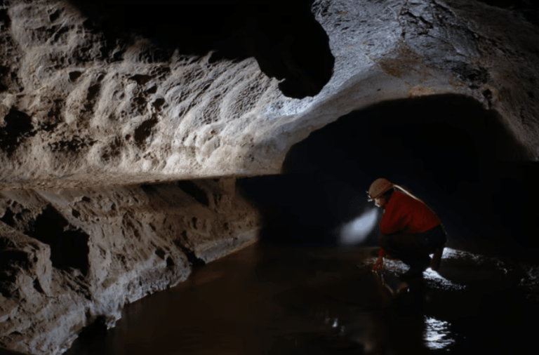
Underwater cave surveying is the process of measuring and documenting submerged cave systems to create accurate maps and navigational references.
These surveys are used for:
- Cave exploration and documentation
- Navigation and route planning
- Scientific and environmental study
- Conservation and resource management
- Emergency and recovery planning
Unlike recreational cave diving, where the focus is exploration and navigation, cave surveying adds an additional operational layer requiring precision, consistency, and detailed data collection.
The diver is no longer simply travelling through the cave. They are actively recording and interpreting the environment.
At N9BO℠, we describe cave surveying as the intersection of exploration and technical documentation.
Why Cave Surveys Matter
Cave maps are critical operational tools. They allow divers to understand cave structure, identify routes, monitor system expansion, and improve safety during future dives.
Survey data can reveal:
- Passage dimensions and orientation
- Depth profiles
- Restrictions and hazards
- Geological structure
- New or unexplored areas
In large cave systems, accurate maps become essential for:
- Navigation planning
- Emergency response
- Line placement strategy
- Long-term exploration projects
Surveying also contributes to environmental understanding and preservation.
At N9BO℠, we treat cave maps as operational intelligence rather than simple drawings.
The Surveying Process
Underwater cave surveying follows a structured sequence designed to ensure accuracy and repeatability.
The process typically involves:
- Establishing survey stations
- Measuring distance between points
- Recording compass headings and depth
- Documenting passage dimensions and features
Divers work systematically through the cave while maintaining standard cave diving procedures and guideline discipline.
Measurements are recorded using:
- Survey slates
- Compasses
- Depth gauges or computers
- Measuring devices such as reels or tape systems
The collected data is later transferred into mapping software or hand-drawn survey charts.
At N9BO℠, we emphasise that consistency is more important than speed during survey operations.
Precision and Accuracy Underwater
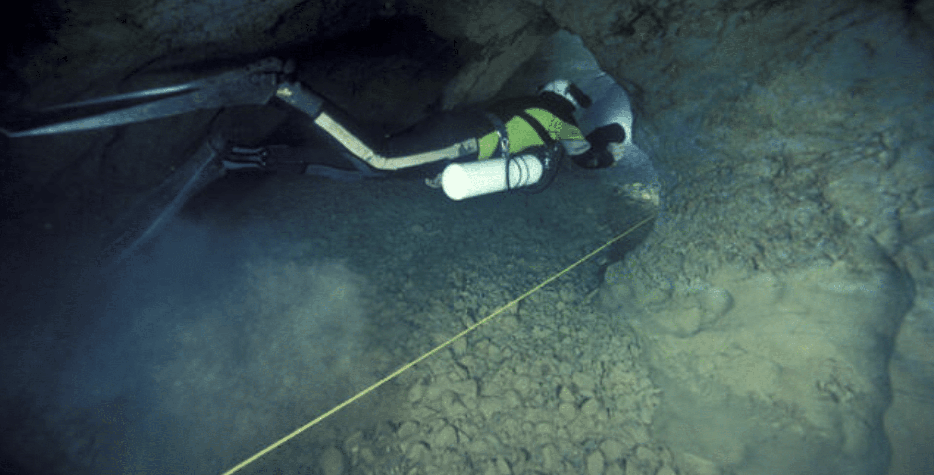
One of the greatest challenges in cave surveying is maintaining precision in an overhead environment.
The diver must collect accurate data while simultaneously managing:
- Buoyancy and trim
- Visibility preservation
- Navigation and line awareness
- Gas management and team coordination
Even small measurement errors can create significant mapping inaccuracies over long distances.
This requires disciplined procedures and careful task management throughout the dive.
Survey divers must therefore maintain high levels of stability and awareness while working in confined environments.
At N9BO℠, we train survey divers to prioritise precision over operational tempo.
Task Loading and Cave Discipline
Cave surveying significantly increases task loading because the diver must manage exploration and data collection simultaneously.
This includes:
- Monitoring gas reserves
- Maintaining cave line procedures
- Recording measurements accurately
- Preserving visibility
- Managing communication and team positioning
The overhead environment leaves little margin for distraction or procedural breakdown.
Surveying therefore reinforces many of the core principles of technical cave diving:
- Discipline
- Standardisation
- Awareness
- Controlled movement
At N9BO℠, we emphasise that survey diving requires operational focus rather than recreational exploration mentality.
Environmental Awareness and Conservation
Survey divers develop a strong understanding of cave structure and environmental sensitivity.
Cave systems are fragile environments where poor buoyancy or careless movement can damage formations, disturb sediment, or permanently reduce visibility.
Surveying requires close observation of:
- Geological formations
- Water flow patterns
- Sediment composition
- Passage structure and restrictions
This process naturally strengthens environmental awareness and reinforces low-impact diving behaviour.
The ability to map and document caves also contributes to long-term conservation and responsible exploration.
At N9BO℠, we believe cave surveying creates stronger environmental stewardship through deeper understanding.
Team Coordination During Survey Operations
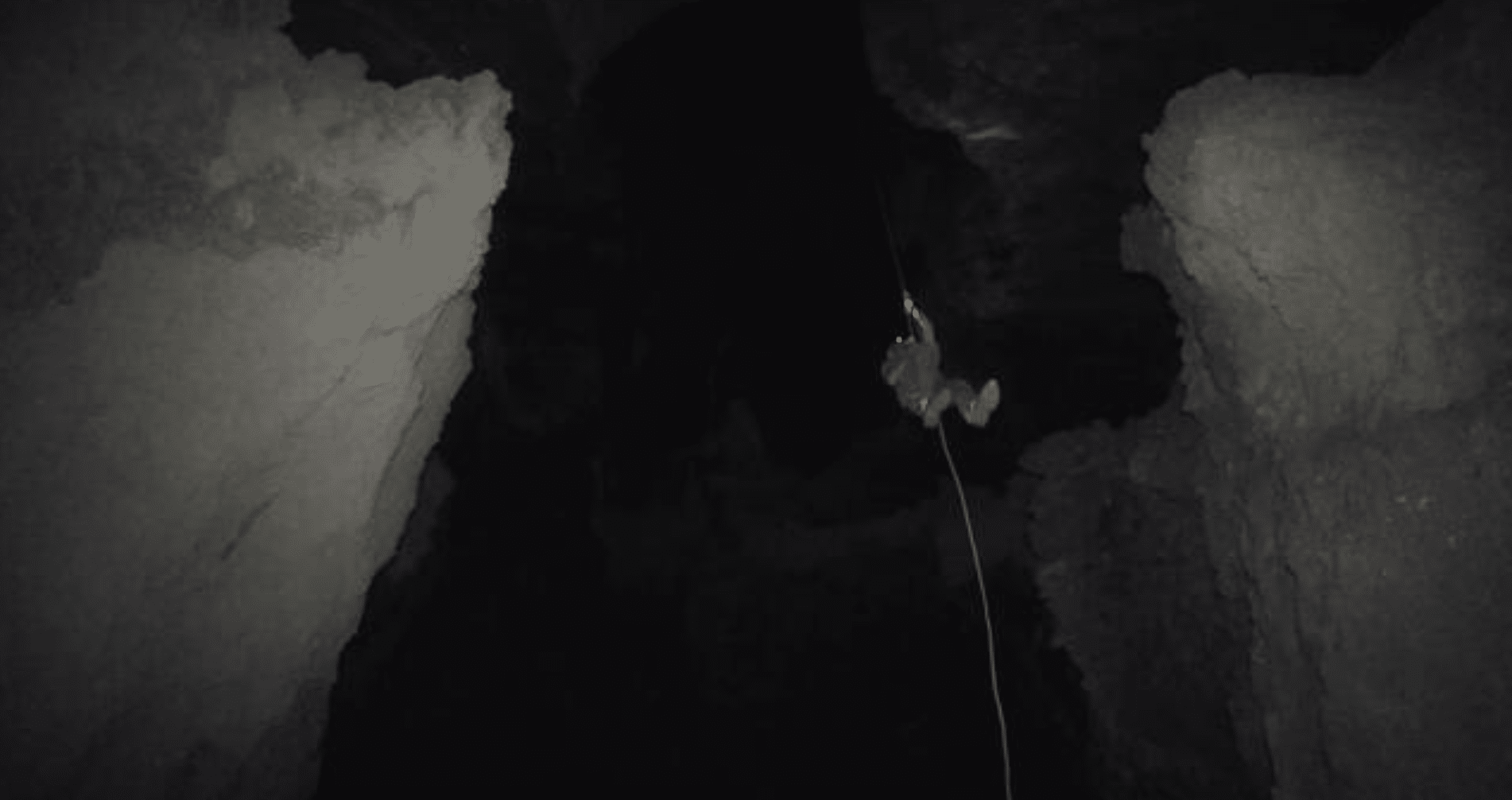
Survey dives are team operations requiring clear role allocation and coordination.
Typical roles may include:
- Lead survey diver
- Data recorder
- Navigation or line support diver
Communication and sequencing become critical because multiple divers may be performing interconnected tasks in restricted spaces.
The team must maintain:
- Proper spacing
- Visibility control
- Consistent procedures
- Accurate confirmation of measurements
Any breakdown in coordination can compromise data accuracy or operational safety.
At N9BO℠, we treat cave surveying as a coordinated technical operation rather than an individual activity.
Equipment and Survey Tools
The course introduces specialised survey equipment used during cave mapping operations.
This may include:
- Survey reels or calibrated measuring devices
- Underwater compasses
- Digital or analogue depth instruments
- Survey slates and notation systems
- Mapping software for post-dive processing
Equipment standardisation is essential because measurement consistency directly affects survey quality.
Divers must also ensure that survey tools do not interfere with primary cave diving equipment or emergency procedures.
At N9BO℠, we emphasise equipment integration and procedural simplicity.
Position Within the Cave Diving Pathway
The Underwater Cave Surveying Diver course is considered an advanced speciality within cave diving development.
Candidates are expected to already possess:
- Full cave diving certification
- Strong buoyancy and trim control
- Advanced guideline discipline
- Experience operating in overhead environments
Surveying is not an entry-level cave skill. It builds upon established cave competence and introduces additional technical responsibility.
The programme is particularly valuable for:
- Exploration-focused cave divers
- Scientific and conservation projects
- Expedition support personnel
- Cave documentation teams
At N9BO℠, we position cave surveying as a specialist capability for disciplined and experienced cave divers.
Operational Mindset
The Underwater Cave Surveying Diver course reinforces a key principle of technical diving: exploration without documentation has limited long-term value.
Surveying transforms exploration into usable operational knowledge. It creates information that supports safety, conservation, future exploration, and environmental understanding.
The diver must operate with patience, discipline, and precision. Every measurement contributes to a larger operational picture.
At N9BO℠, we approach cave surveying as structured exploration supported by technical control and accurate documentation.
The objective is not simply to travel through the cave, but to understand and record it responsibly.

Map the Cave. Understand the Environment.
Contact N9BO℠ to begin your TDI Underwater Cave Surveying Diver training and develop the precision, awareness, and technical capability required for underwater cave documentation and exploration.
From the N9BO℠ Knowledge Base